
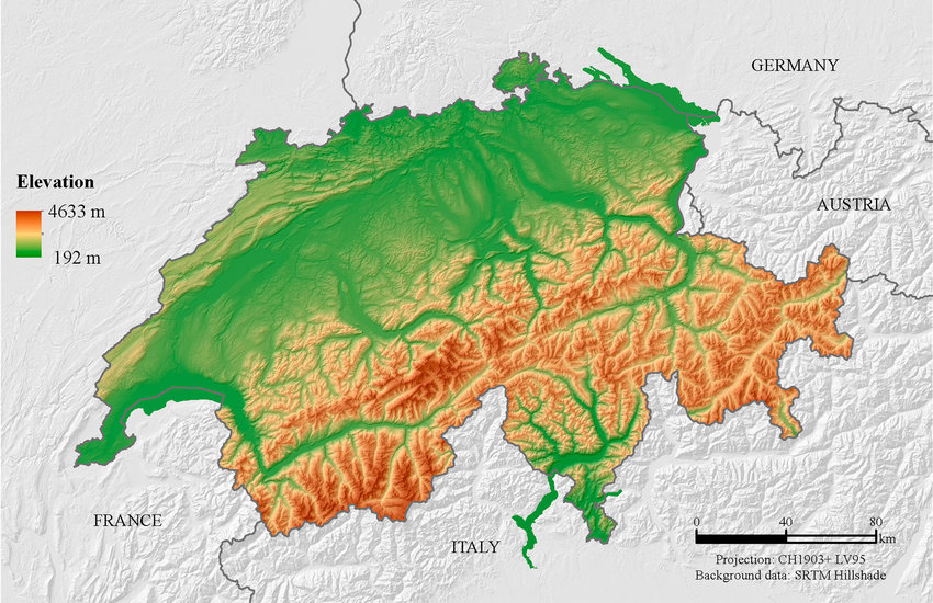
For example on wikipedia for Switzerland it says the country has an area of 41,285 km². Does this take into account that a lot of that area is actually angled at a steep inclination, thus the actual surface area is in effect larger than what you would expect when looking onto a map in satellite view?
It’s the same problem with defining coastlines. You can keep increasing the resolution and the coastline length will increase indefinitely.
Ahh those fiddly little fjords.
those fiddly atoms and quarks